Triglav Summit Day and the Prag Route return.
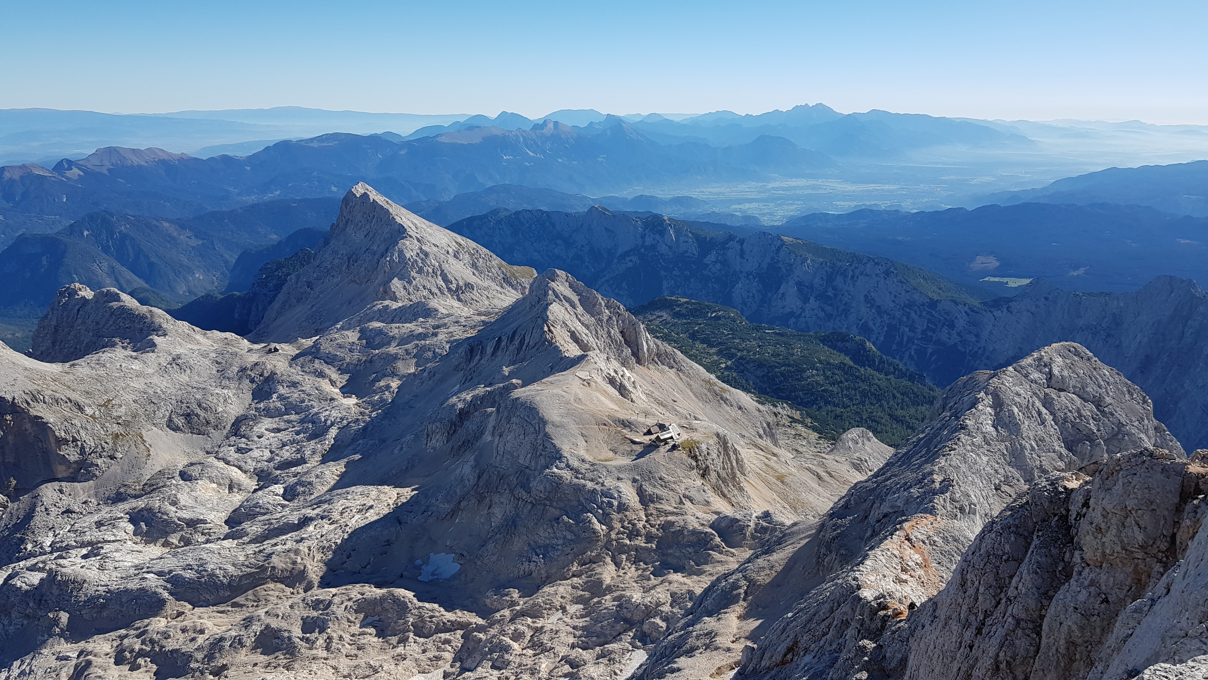
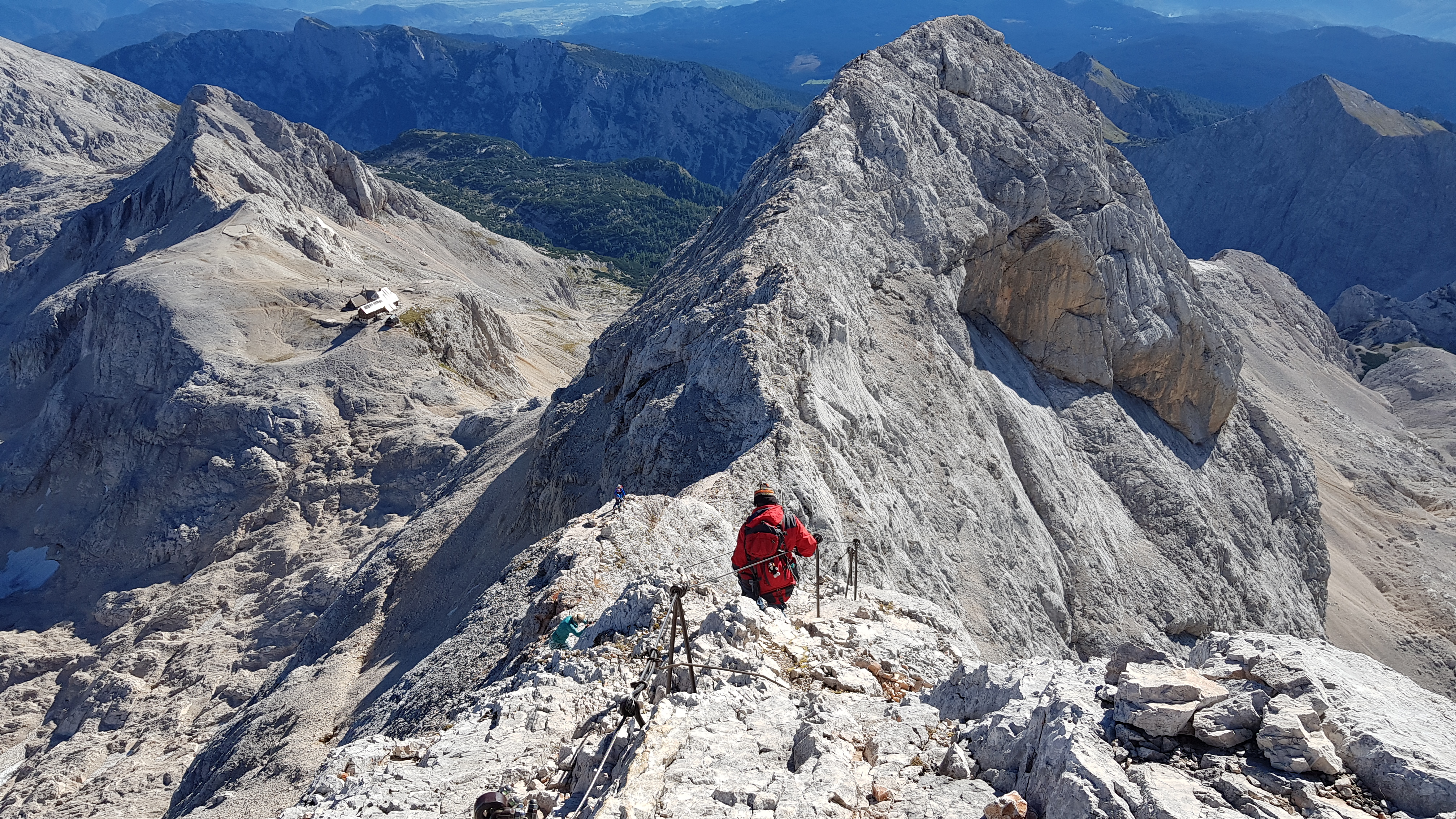
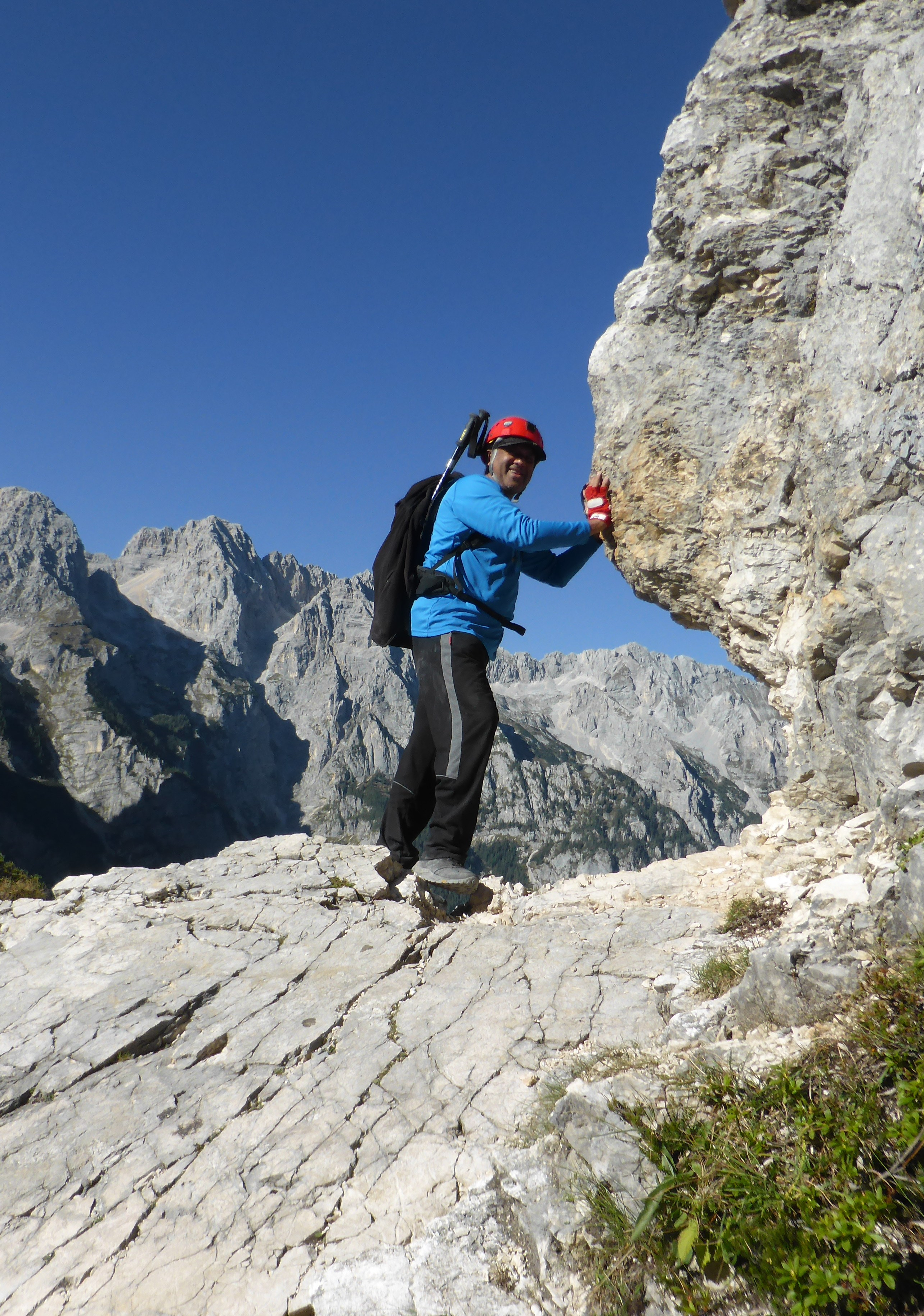
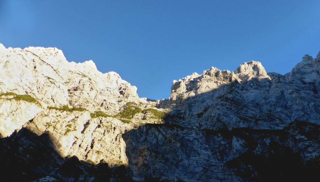
Second day of our climb of Triglav last September. After the hard day up to the hut; https://antondotreks.com/2019/01/07/day-1-climb-to-triglav-tominsek-route-to-triglavski-dom/ the next morning it was summit day – yippee. From the hut, the Triglav path took us to the bottom of the buttress holding up of the south summit, Mali Triglav. Then up 350m of steep, exposed face across well-worn rocks – smooth from the many ascents and descents. Wires along the way gave good protection though, most climbers using it as a handrail rather than clipping in.
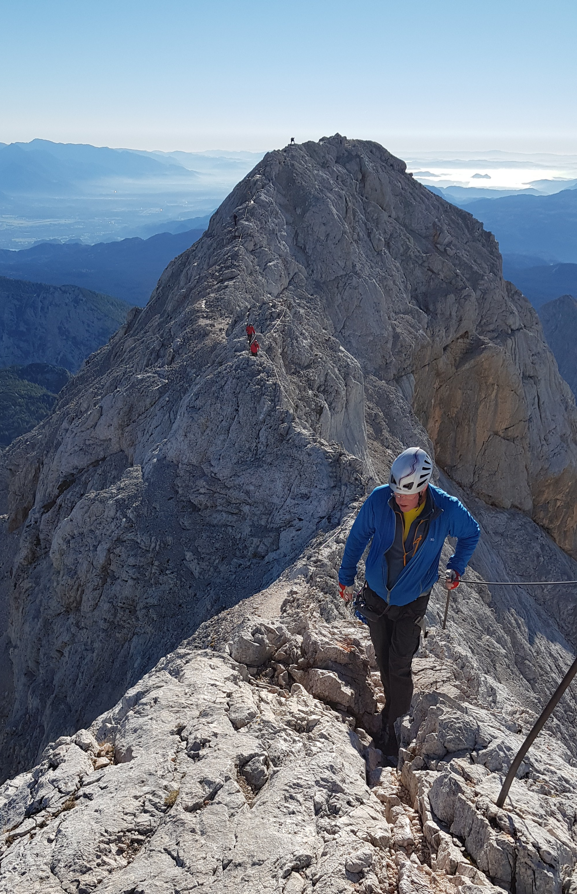
Then a narrow arete stretched out to the summit proper. Handrails and posts eased the feelings of exposure from the cliffs below on both sides. On this fine day, most climbers used this without clipping in, hanging onto the wire when the sense of vertical walls became too much. On days with less gorgeous weather when the smooth limestone is covered in rain or snow, the wire would be a life saver.
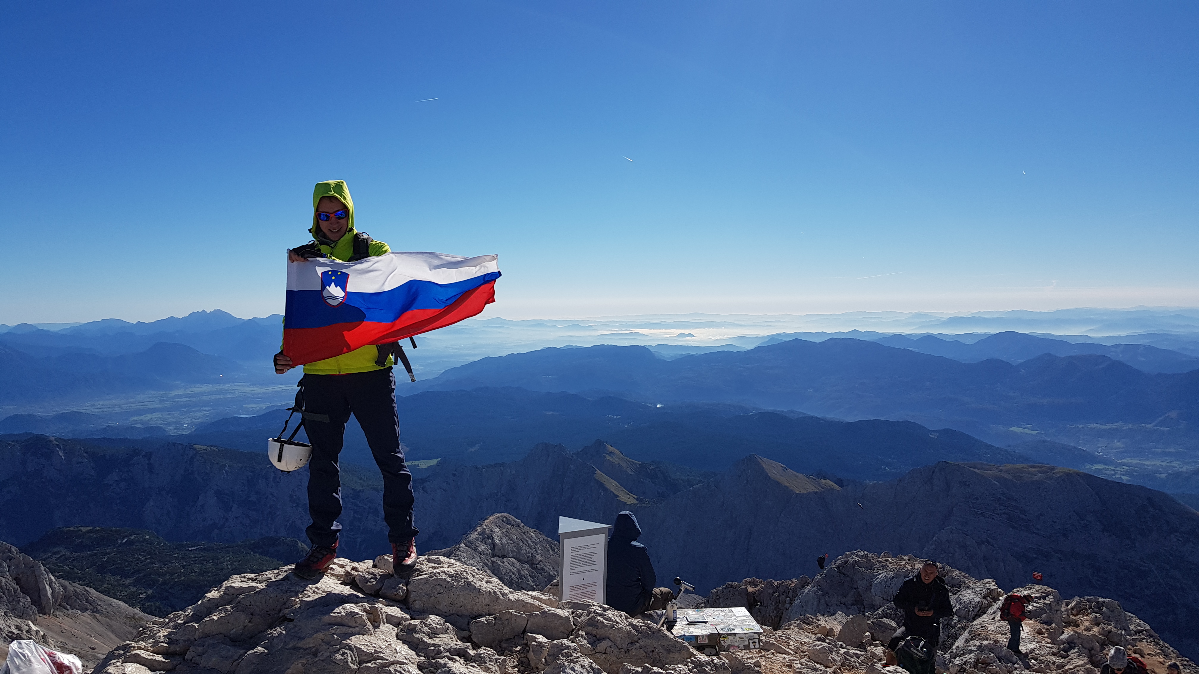
Less than 90 minutes from the hut to the top, we joined the happy Slovenians crowding onto their countries high point. All were happy to have English visitors on their mountain, many pointing out that we had unfortunately come on the wrong week; the famous summit turret had been taken away for restoration and was due back the next week. This tower is part of the Slovenian cultural heritage, erected in 1895 and surviving many storms and lightning strikes – providing shelter for those overnighting or caught in bad weather.
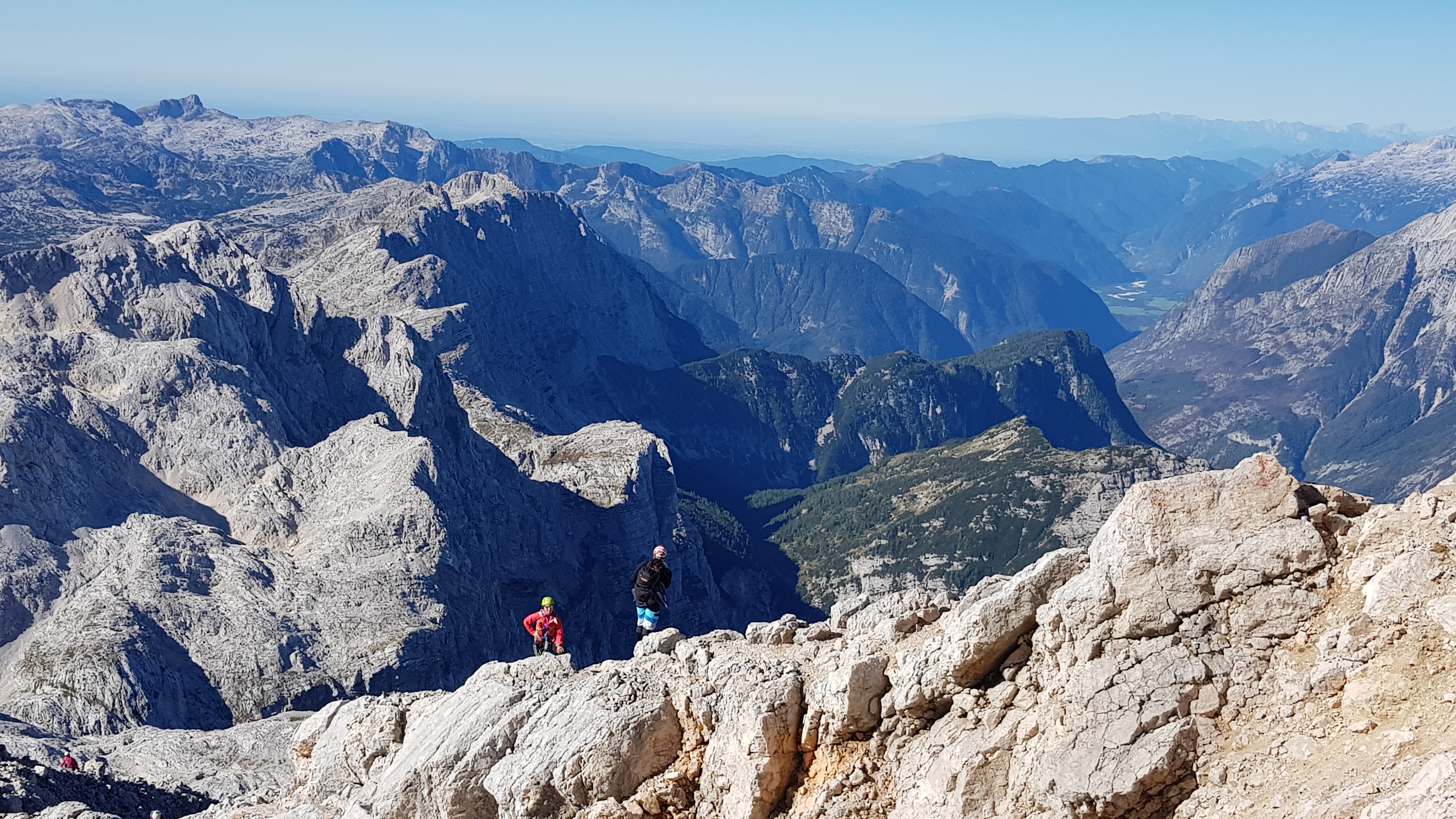
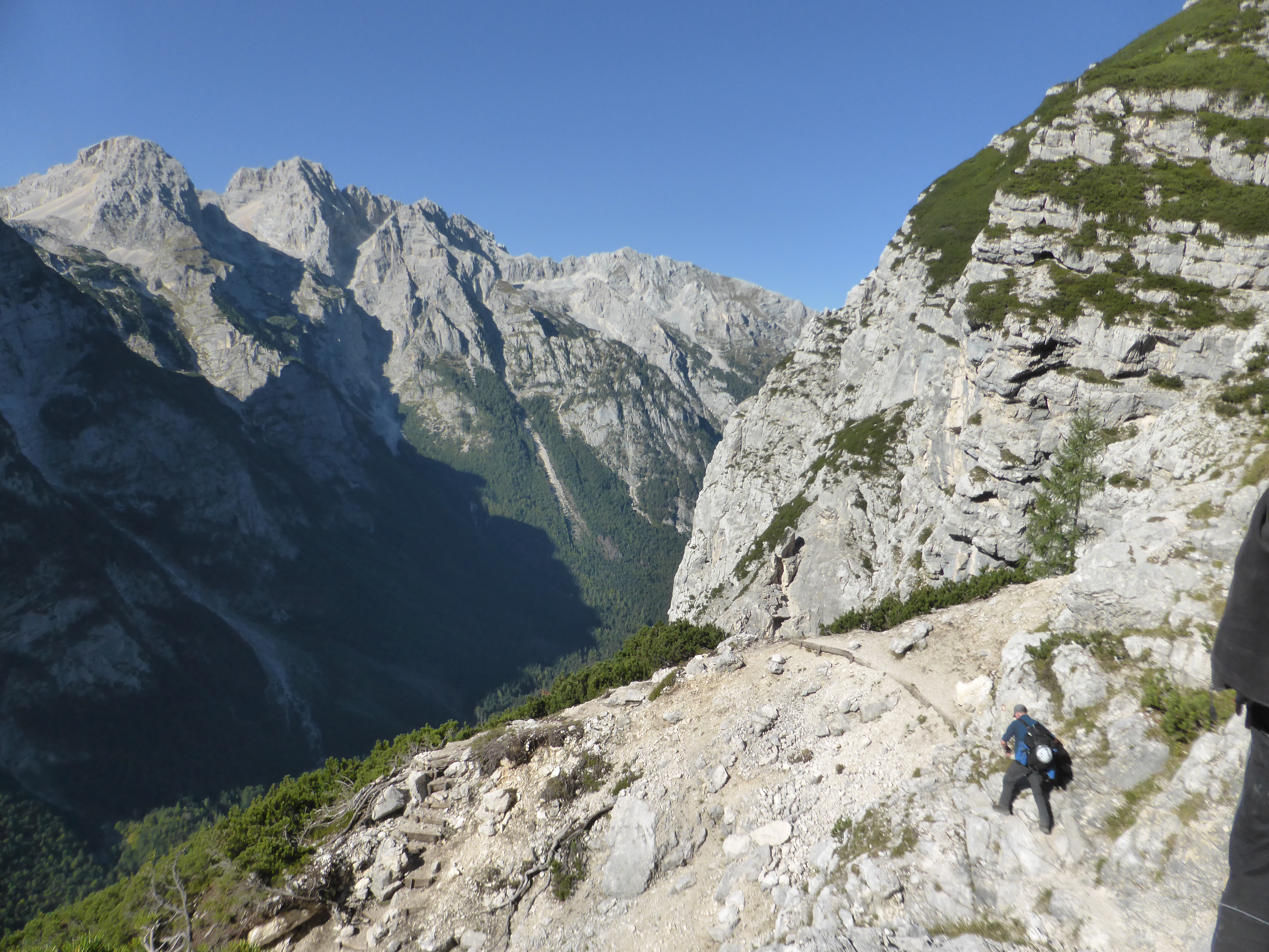
After lunch and a celebratory beer at the hut, we started back down the route we had climbed yesterday, down and over the large limestone pavement. From above, it was easier finding the waymarked path through the confusing moraines. This took us back to the top of the scree. Many climbers headed straight down the scree but in our view, it was rather steep for our tired knees and had a hidden runout over the edge of the canyon. A more gentle option was to keep the cliff face close-by avoiding the rubble down. Here a grassy promontory overlooked the canyon edge down into the valley. Below was steep and loose, no obvious way down. Extra motivation (our last sandwich) was needed before Nas would set off into the unknown.
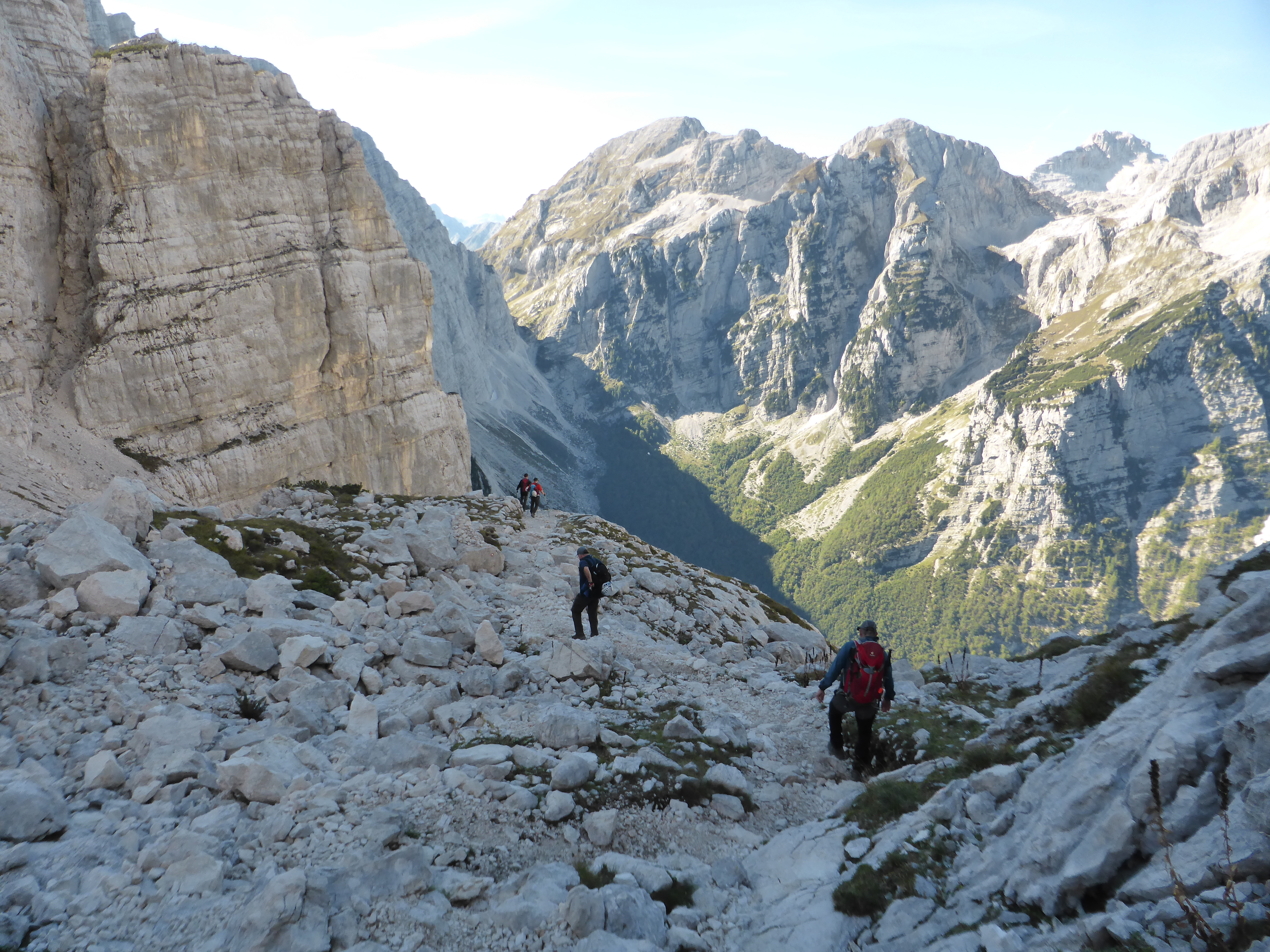
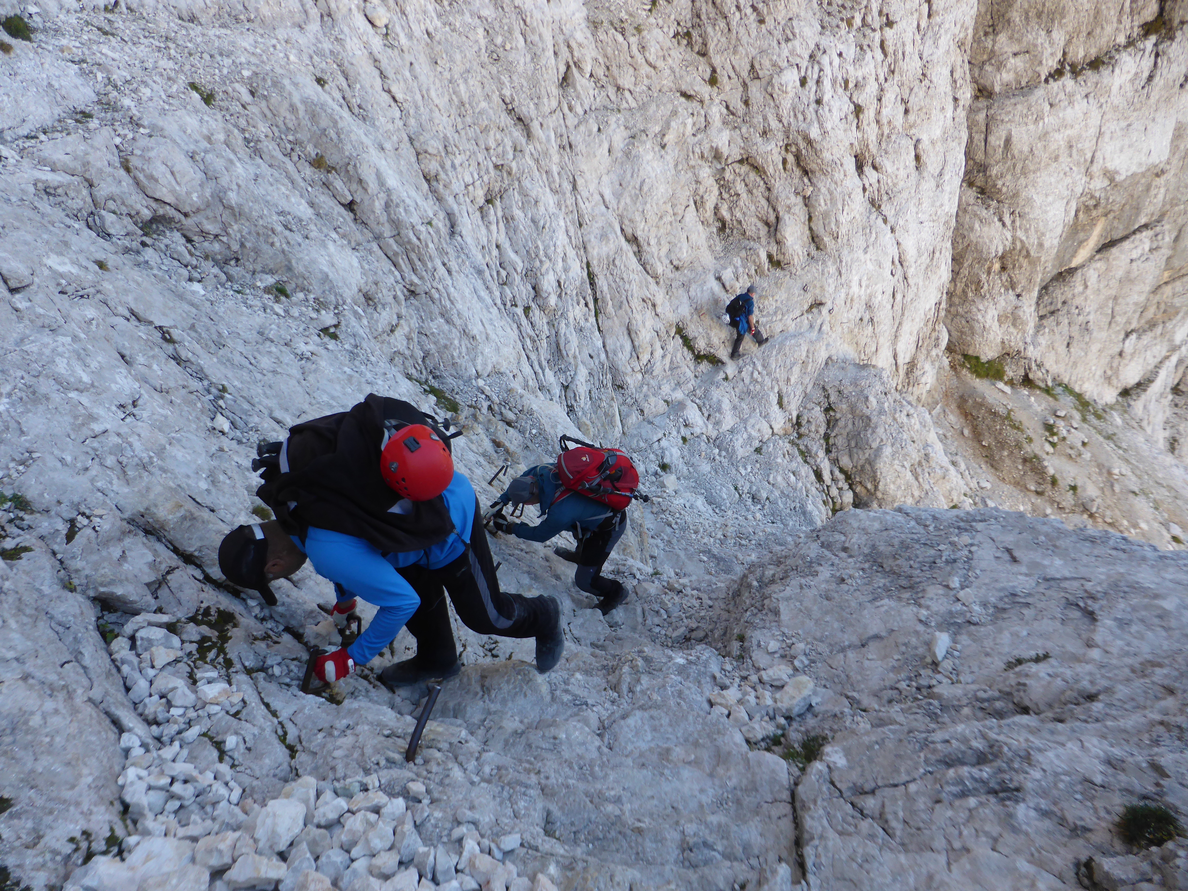
Once on the face, the route became clear, working it’s way down across scree slopes and around steep rock ribs. All had good protection when needed. One of the crags is named Bear’s rock, where the last bear in this part of the national park fell many years ago, trying to escape from hunters.
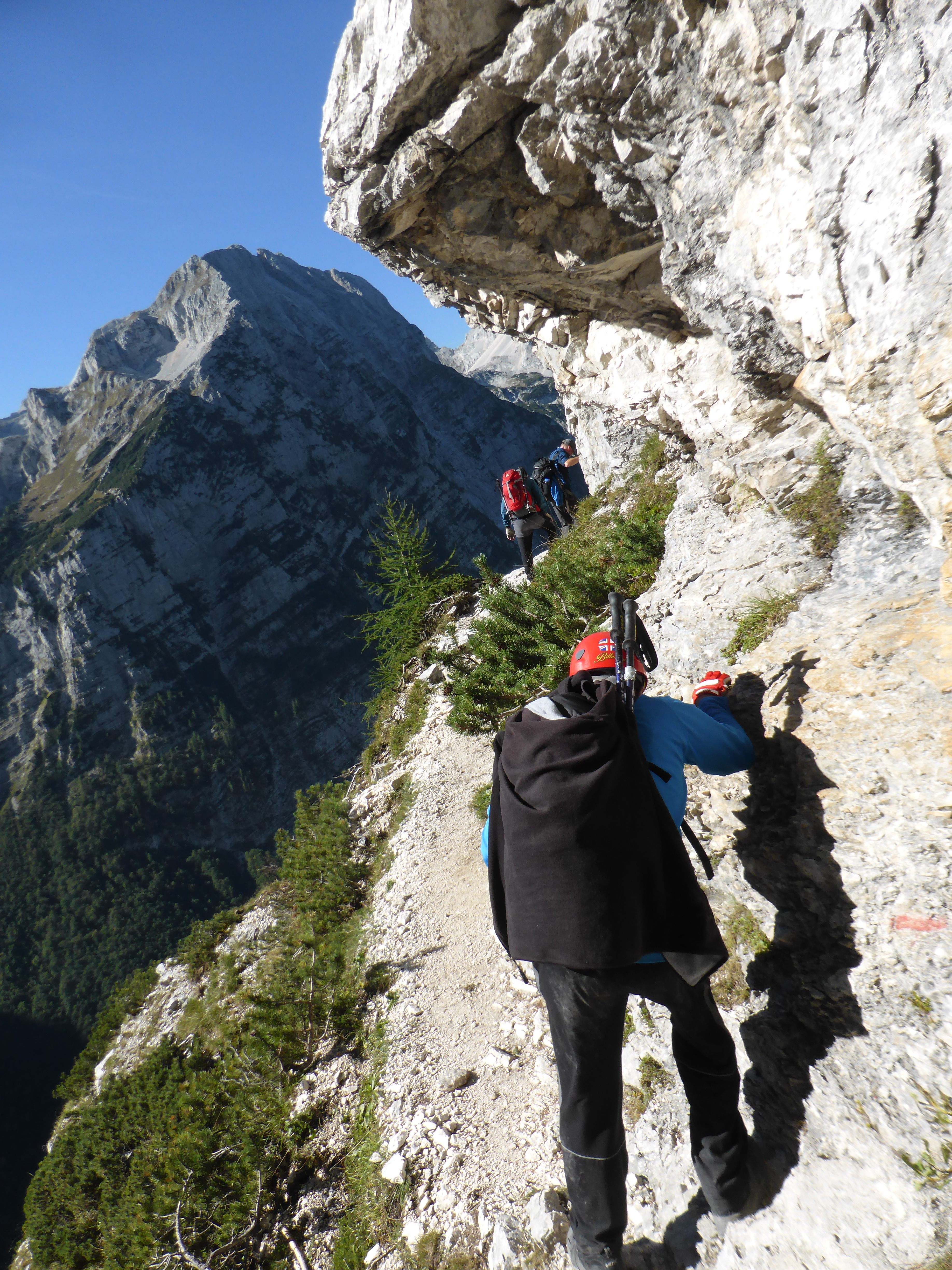
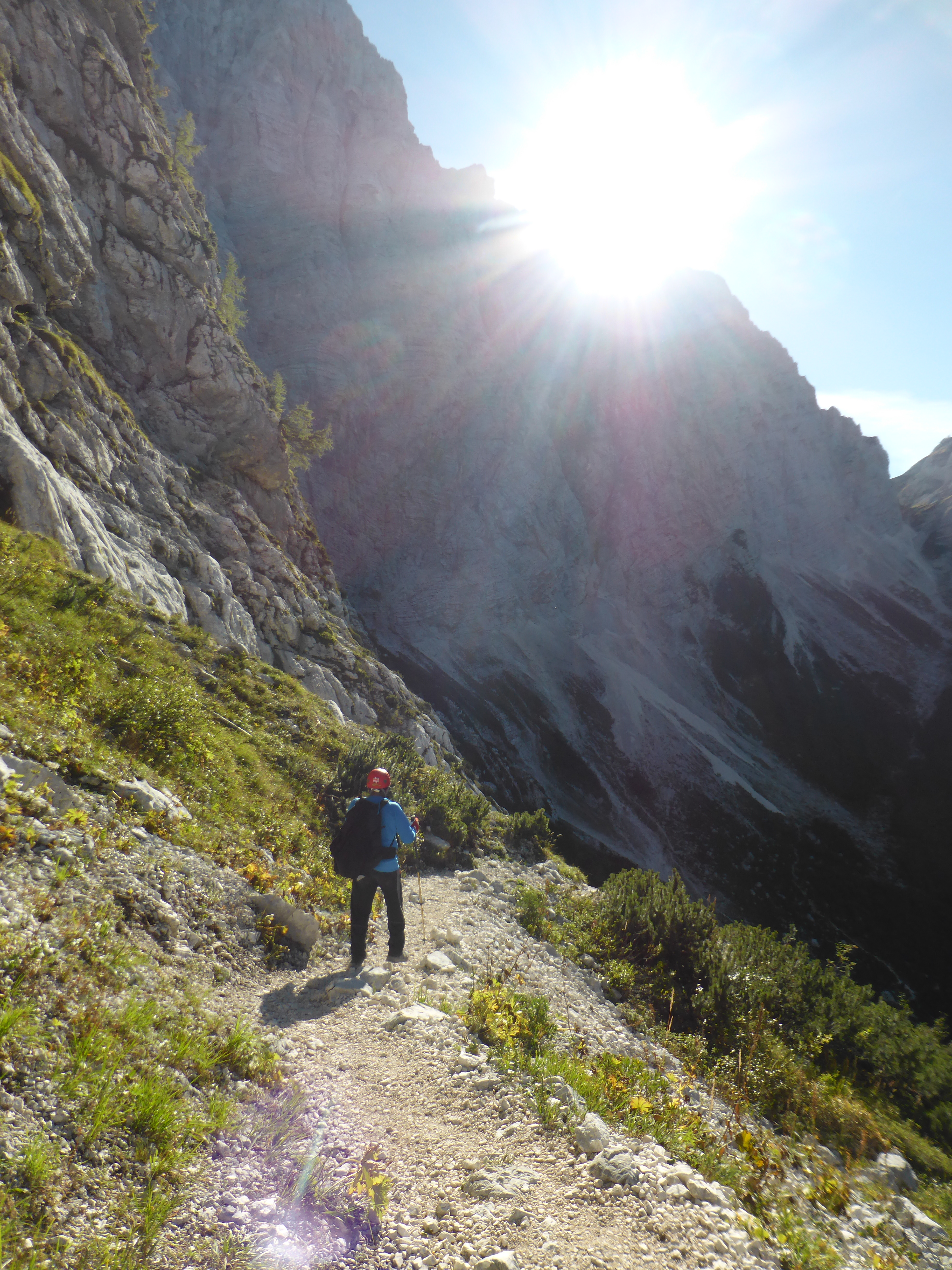
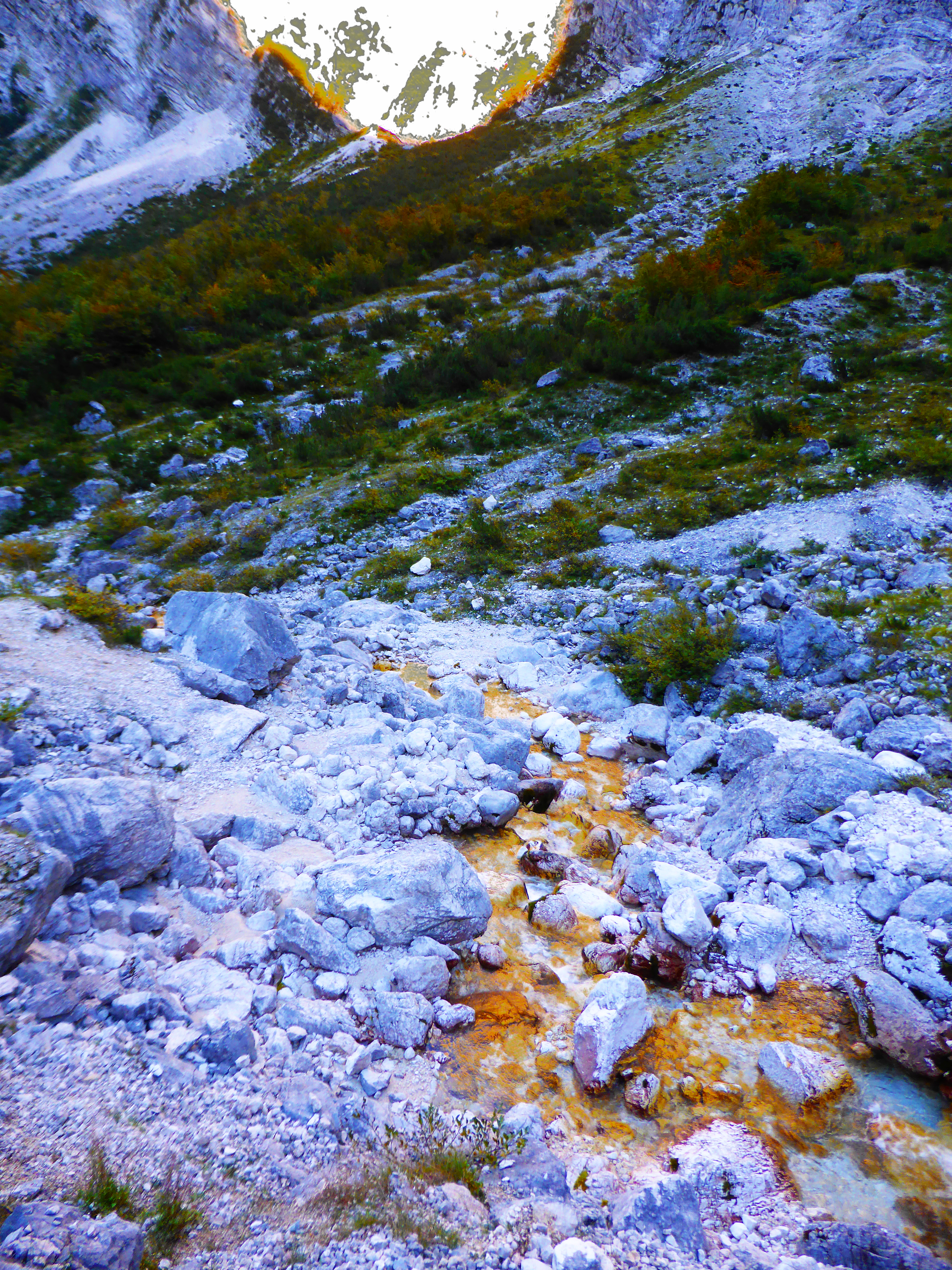
After a hard couple of hours climb down, the Prag path eased off and gently worked through the dwarf pines to meet the Luknja path coming down from the gap at the other side of the massive north face above us. Here we joined the River Bistrica. The sun was now below the level of the peaks opposite but caught the top of the main wall above us, giving the river a golden shimmer, difficult to capture on a photograph.
That was a 10 hour day, taking us from the Triglavski Dom to the summit and back down to the Aljazev Dom; 350m of ascent and 1,900m of descent, tough climbing down across the north face of Triglav. But not everyday one climbs the highest peak in Slovenia and the Julian Alps.

Amazing views and looks like some tough climbs. I am impressed. 👏